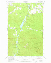
1950 Map of Elwha
USGS Topo · Published 1976About this map
The Elwha River valley and its hydroelectric developments are the focal point of this 1950s era study, showing the landscape before the historic dam removals of the 21st century. The map details the impoundments at Lake Aldwell and Lake Mills, supported by the Upper Elwha Dam and the Olympic Power Plant. In the north, the Chicago Milwaukee St Paul and Pacific railroad cuts through the terrain near Piedmont, while the Olympic Highway provides access to the Olympic National Forest. Local life is visible in the presence of the Dry Creek Sch and the community at Elwha. Deeper into the mountains, recreational and administrative sites like Waumilla Lodge, Altaire Camp Grounds, and the Elwha Ranger Sta mark the transition into the Olympic National Park. This geography reflects a period where power generation and early park tourism defined the Olympic Peninsula's interior.
Find a feature on this map
37 named features on this map. Tap any name to fly to it.
Don’t see what you’re looking for? This feature index may not catch every label — zoom into the map to look around manually.
Map Details
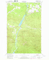
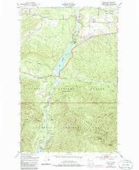
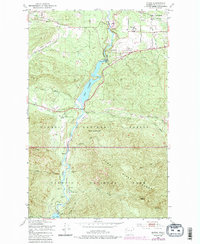
Editions of this 1950 Elwha Map
5 editions found
Other maps of this area

1918 · Port Angeles
USGS Topo · 1:62,500

1919 · Port Crescent
USGS Topo · 1:62,500

1935 · Mount Olympus
USGS Topo · 1:62,500

1938 · Mt Constance
USGS Topo · 1:125,000

1941 · Port Angeles
USGS Topo · 1:62,500

1942 · Mount Olympus
USGS Topo · 1:62,500

1944 · Mt. Angeles
USGS Topo · 1:62,500

1946 · Mt. Angeles
USGS Topo · 1:62,500

1950 · Elwha
USGS Topo · 1:24,000

1950 · Ediz Hook
USGS Topo · 1:24,000