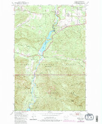
1950 Map of Elwha
USGS Topo · Published 1985About this map
Elwha River hydropower and wilderness recreation define this 1950 survey, which captures the river corridor before the historic dam removals of the 21st century. The map depicts a landscape shaped by early 20th-century industry, notably the Olympic Power Plant situated below Lake Aldwell. To the north, the Old Railroad Grade and Port Angeles Clallam County Airport show the infrastructure supporting the nearby regional hub.
Find a feature on this map
34 named features on this map. Tap any name to fly to it.
Don’t see what you’re looking for? This feature index may not catch every label — zoom into the map to look around manually.
Map Details
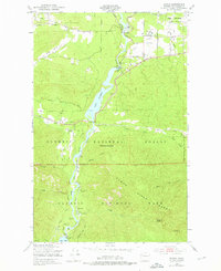
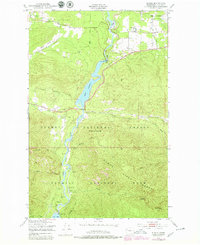
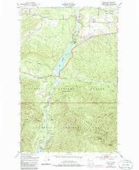
Editions of this 1950 Elwha Map
5 editions found
Other maps of this area

1918 · Port Angeles
USGS Topo · 1:62,500

1919 · Port Crescent
USGS Topo · 1:62,500

1935 · Mount Olympus
USGS Topo · 1:62,500

1938 · Mt Constance
USGS Topo · 1:125,000

1941 · Port Angeles
USGS Topo · 1:62,500

1942 · Mount Olympus
USGS Topo · 1:62,500

1944 · Mt. Angeles
USGS Topo · 1:62,500

1946 · Mt. Angeles
USGS Topo · 1:62,500

1950 · Elwha
USGS Topo · 1:24,000

1950 · Ediz Hook
USGS Topo · 1:24,000