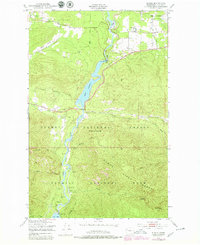
1950 Map of Elwha
USGS Topo · Published 1979About this map
The Elwha River carves a deep path through the northern Olympic Peninsula, where mid-century infrastructure meets the edges of Olympic National Park. This 1950 survey, photorevised in 1978, illustrates a landscape defined by the river’s harness, featuring both Lake Aldwell and the Upper Elwha Dam at Lake Mills. The presence of the Olympic Power Plant and the Elwha Ranger Sta highlights the dual roles of resource management and conservation in this era.
Find a feature on this map
36 named features on this map. Tap any name to fly to it.
Don’t see what you’re looking for? This feature index may not catch every label — zoom into the map to look around manually.
Map Details
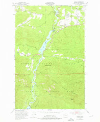
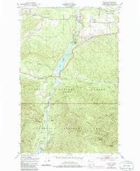
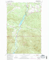
Editions of this 1950 Elwha Map
5 editions found
Other maps of this area

1918 · Port Angeles
USGS Topo · 1:62,500

1919 · Port Crescent
USGS Topo · 1:62,500

1935 · Mount Olympus
USGS Topo · 1:62,500

1938 · Mt Constance
USGS Topo · 1:125,000

1941 · Port Angeles
USGS Topo · 1:62,500

1942 · Mount Olympus
USGS Topo · 1:62,500

1944 · Mt. Angeles
USGS Topo · 1:62,500

1946 · Mt. Angeles
USGS Topo · 1:62,500

1950 · Elwha
USGS Topo · 1:24,000

1950 · Ediz Hook
USGS Topo · 1:24,000