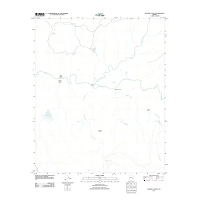
2011 Map of Elwood Canyon
USGS Topo · Published 2011About this map
The Black River winds through the heart of this high-country landscape, serving as a primary drainage for the complex system of canyons and plateaus defined by the Natanes Plateau to the south. This area is characterized by its vital water management features, where remote outposts like the Elwood Windmill and numerous catchments such as Rocky Basin Tank Number One and the Mudhole Tank support local ranching or land management activities.
Find a feature on this map
21 named features on this map. Tap any name to fly to it.
Don’t see what you’re looking for? This feature index may not catch every label — zoom into the map to look around manually.
Map Details
Editions of this 2011 Elwood Canyon Map
This is the sole edition of this map. No revisions or reprints were ever made.
Other maps of this area

1954 · Clifton
USGS Topo · 1:250,000

1954 · Mesa
USGS Topo · 1:250,000

1957 · Mesa
USGS Topo · 1:250,000

1957 · Clifton
USGS Topo · 1:250,000

1958 · Clifton
USGS Topo · 1:250,000

1958 · Mesa
USGS Topo · 1:250,000

1960 · Mesa
USGS Topo · 1:250,000

1962 · Clifton
USGS Topo · 1:250,000

1964 · Mesa
USGS Topo · 1:250,000

1966 · Georges Butte
USGS Topo · 1:24,000