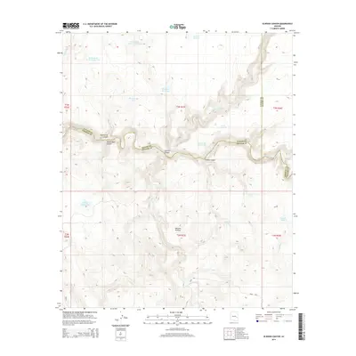
2014 Map of Elwood Canyon
USGS Topo · Published 2014About this map
The Black River carves a deep, winding path through this corner of the Southwest, serving as the primary boundary between Navajo, Graham, and Apache counties. This 2014 survey captures the dramatic verticality of the Natanes Plateau as it drops into a complex network of drainages, including Elwood Canyon, Bloody Basin Canyon, and Sawmill Canyon. The landscape is defined by its water management for livestock or wildlife, evidenced by numerous named improvements such as Rocky Basin Tank Number One, Prairie Pit Tank, and the remote Mudhole Tank.
Find a feature on this map
23 named features on this map. Tap any name to fly to it.
Don’t see what you’re looking for? This feature index may not catch every label — zoom into the map to look around manually.
Map Details
Editions of this 2014 Elwood Canyon Map
This is the sole edition of this map. No revisions or reprints were ever made.
Other maps of this area

1954 · Clifton
USGS Topo · 1:250,000
1954 · Mesa
USGS Topo · 1:250,000
1957 · Mesa
USGS Topo · 1:250,000

1957 · Clifton
USGS Topo · 1:250,000

1958 · Clifton
USGS Topo · 1:250,000
1958 · Mesa
USGS Topo · 1:250,000
1960 · Mesa
USGS Topo · 1:250,000
1962 · Clifton
USGS Topo · 1:250,000
1964 · Mesa
USGS Topo · 1:250,000
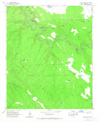
1966 · Georges Butte
USGS Topo · 1:24,000