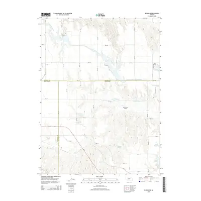
2014 Map of Elwood NW
USGS Topo · Published 2014About this map
Tri County Supply Canal cuts across this corner of Nebraska, illustrating the complex irrigation and water management infrastructure essential to the region's agricultural life. The landscape is defined by its drainages and numerous artificial water bodies, including the significant Elwood Reservoir and the Plum Creek Canyon system. This area, where Dawson, Gosper, and Frontier counties meet, shows a pattern of upland farming and cattle grazing partitioned by a rigid grid of section roads like Road 750 and Road 745. Researchers will find numerous private water storage sites, such as Bellamy Reservoir and Franta Reservoir, which speak to the individual land management practices of local families. The presence of Johnson Lake and Gallagher Canyon suggests the integration of recreational and utility-scale water features that characterize the modern rural landscape in this part of the state.
Find a feature on this map
38 named features on this map. Tap any name to fly to it.
Don’t see what you’re looking for? This feature index may not catch every label — zoom into the map to look around manually.
Map Details
Editions of this 2014 Elwood NW Map
This is the sole edition of this map. No revisions or reprints were ever made.
Other maps of this area

1896 · Lexington
USGS Topo · 1:125,000

1899 · Lexington
USGS Topo · 1:125,000

1902 · Gothenburg
USGS Topo · 1:125,000

1954 · McCook
USGS Topo · 1:250,000

1955 · Grand Island
USGS Topo · 1:250,000

1957 · McCook
USGS Topo · 1:250,000

1957 · Grand Island
USGS Topo · 1:250,000

1958 · McCook
USGS Topo · 1:250,000

1958 · Grand Island
USGS Topo · 1:250,000

1962 · Lexington West
USGS Topo · 1:24,000