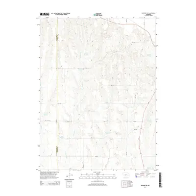
2014 Map of Elwood SW
USGS Topo · Published 2014About this map
E Br Muddy Cr and Elk Cr dominate this rural landscape in southwestern Nebraska, where a sophisticated network of private water management defines the local geography. Numerous named impoundments, including the Fader-Stewart Reservoir, Umberger Reservoir, and Gruber Reservoir, are scattered across the drainage basins, illustrating the critical role of water storage for agriculture in this portion of Gosper County. The terrain is marked by a complex system of local roads and drives, such as Road 742 and Road 739, which navigate the various forks of Elder Cr. These transportation routes provide access to the high ground between the creek valleys, connecting the region to larger arteries like Us-283 and Ne-23. The boundary between Frontier County and Gosper County runs along the western edge of the map, cutting through the headwaters of the local creek systems.
Find a feature on this map
31 named features on this map. Tap any name to fly to it.
Don’t see what you’re looking for? This feature index may not catch every label — zoom into the map to look around manually.
Map Details
Editions of this 2014 Elwood SW Map
This is the sole edition of this map. No revisions or reprints were ever made.
Other maps of this area

1896 · Lexington
USGS Topo · 1:125,000

1896 · Arapahoe
USGS Topo · 1:125,000

1898 · Arapahoe
USGS Topo · 1:125,000

1899 · Lexington
USGS Topo · 1:125,000

1902 · Gothenburg
USGS Topo · 1:125,000

1954 · McCook
USGS Topo · 1:250,000

1955 · Grand Island
USGS Topo · 1:250,000

1957 · McCook
USGS Topo · 1:250,000

1957 · Grand Island
USGS Topo · 1:250,000

1958 · McCook
USGS Topo · 1:250,000