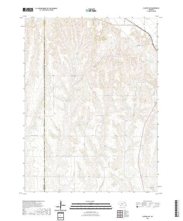
2021 Map of Elwood SW
USGS Topo · Published 2021About this map
The Frontier Co Gosper Co boundary line bisects this portion of rural Nebraska, defining a landscape shaped by agricultural water management and high plains drainage. The terrain is notably dissected by numerous draws and small canyons, many of which have been dammed to create essential water sources for the surrounding farms and ranches. These include Brockmeier Reservoir, Getty Reservoir, and the Fader-Stewart Reservoir. Smaller drainages like Elk Cr weave through the township sections, eventually feeding larger reservoirs or disappearing into the porous soils. The road network, consisting largely of gravel and dirt routes such as RD 737 and Middle Canyon E Rd, follows a strict section-line grid that only occasionally deviates for the deep cuts of the local topography. This map documents a modern snapshot of the enduring agricultural infrastructure in Gosper County.
Find a feature on this map
32 named features on this map. Tap any name to fly to it.
Don’t see what you’re looking for? This feature index may not catch every label — zoom into the map to look around manually.
Map Details
Editions of this 2021 Elwood SW Map
This is the sole edition of this map. No revisions or reprints were ever made.
Other maps of this area

1896 · Lexington
USGS Topo · 1:125,000

1896 · Arapahoe
USGS Topo · 1:125,000

1898 · Arapahoe
USGS Topo · 1:125,000

1899 · Lexington
USGS Topo · 1:125,000

1902 · Gothenburg
USGS Topo · 1:125,000

1954 · McCook
USGS Topo · 1:250,000

1955 · Grand Island
USGS Topo · 1:250,000

1957 · McCook
USGS Topo · 1:250,000

1957 · Grand Island
USGS Topo · 1:250,000

1958 · McCook
USGS Topo · 1:250,000