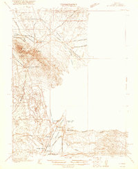
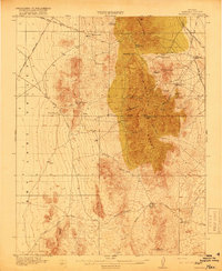
1921 Map of Ely Range
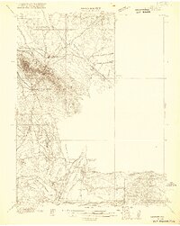
USGS Topo · Published 1956About this map
Pioche stands as the primary industrial hub in this 1916 survey, a period when the silver-mining district was still actively served by intricate rail connections. The map details the Piocne Con Mining and Smelting Co Pacific (Narrow Gauge) line winding toward the Prince Consolidated Mine, illustrating the intense logistical effort required to extract wealth from the desert ranges. To the south, the agricultural pockets of Bullionville and Panaca contrast with the industrial north, linked by the Los Angeles and Salt Lake railroad.
Find a feature on this map
33 named features on this map. Tap any name to fly to it.
Don’t see what you’re looking for? This feature index may not catch every label — zoom into the map to look around manually.
Map Details
Editions of this 1921 Ely Range Map
2 editions found
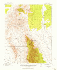
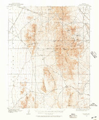
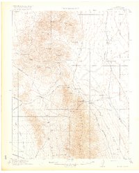
Other maps of this area

1885 · Pioche
USGS Topo · 1:250,000

1886 · Pioche
USGS Topo · 1:250,000
1915 · Bristol Range
USGS Topo · 1:62,500
1916 · Highland
USGS Topo · 1:62,500
1917 · Bristol Range
USGS Topo · 1:62,500
1918 · Highland
USGS Topo · 1:62,500
1921 · NW 1/4 Panaca
USGS Topo · 1:48,000
1953 · Highland Peak
USGS Topo · 1:24,000
1953 · Bristol Range SE
USGS Topo · 1:24,000

1953 · Pioche
USGS Topo · 1:24,000