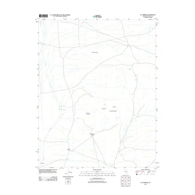
2012 Map of Ely Springs
USGS Topo · Published 2012About this map
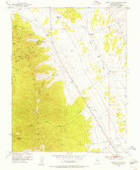
Ely Springs Ranch occupies the southern reach of this high-desert landscape in Lincoln County, Nevada, where water remains the defining element for survival and ranching. The map reveals an intricate network of named springs that have historically supported life in this arid basin, including Simpson Spring, Reindeer Spring, and Delmues Spring. These water sources are tied to the terrain of the Ely Springs Range, which rises above the surrounding flats. The drainage patterns are dominated by the long course of Coyote Wash, which carves through the western portion of the quadrangle. Human efforts to manage this scarce resource are evident in the construction of Thorley Reservoir and Bullfrog Reservoir, providing essential water storage for cattle and local wildlife. Distinctive geological features like Black Rock Knoll and the narrow geological feature known as The Crack provide clear landmarks for navigating this expansive basin.
Find a feature on this map
19 named features on this map. Tap any name to fly to it.
Don’t see what you’re looking for? This feature index may not catch every label — zoom into the map to look around manually.
Map Details
Editions of this 2012 Ely Springs Map
This is the sole edition of this map. No revisions or reprints were ever made.
Other maps of this area
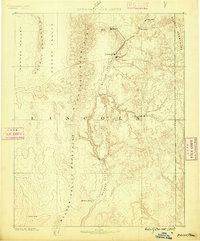
1885 · Pioche
USGS Topo · 1:250,000
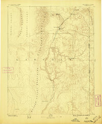
1886 · Pioche
USGS Topo · 1:250,000
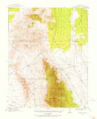
1915 · Bristol Range
USGS Topo · 1:62,500
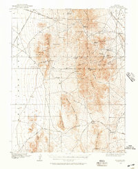
1916 · Highland
USGS Topo · 1:62,500
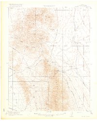
1917 · Bristol Range
USGS Topo · 1:62,500
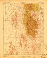
1918 · Highland
USGS Topo · 1:62,500
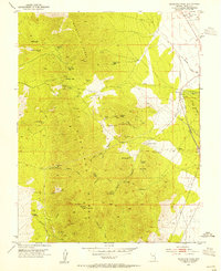
1953 · Highland Peak
USGS Topo · 1:24,000
1953 · Bristol Range SE
USGS Topo · 1:24,000

1954 · Caliente
USGS Topo · 1:250,000

1956 · Lund
USGS Topo · 1:250,000