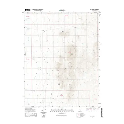
2014 Map of Ely Springs
USGS Topo · Published 2014About this map
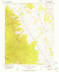
The Ely Springs Range dominates the eastern half of this Lincoln County landscape, rising sharply above the desert floor and the western edge of Bristol Valley. This high ground is punctuated by numerous seasonal water sources and named landmarks, including Smith Spring, Iron Tank Spring, and Yellow Hill. The western portion of the map is defined by the broad drainage of Coyote Wash, which passes through the area near the curiously named settlement of The Crack. A network of unpaved desert roads, such as Stampede Rd and N Simpson Rd, connects isolated points of human activity and ranching infrastructure. Landowners and water seekers in this arid environment relied on developed catchments like Bullfrog Reservoir and Thorley Reservoir to manage the scarce resources of the Great Basin.
Find a feature on this map
34 named features on this map. Tap any name to fly to it.
Don’t see what you’re looking for? This feature index may not catch every label — zoom into the map to look around manually.
Map Details
Editions of this 2014 Ely Springs Map
This is the sole edition of this map. No revisions or reprints were ever made.
Other maps of this area
1885 · Pioche
USGS Topo · 1:250,000
1886 · Pioche
USGS Topo · 1:250,000
1915 · Bristol Range
USGS Topo · 1:62,500
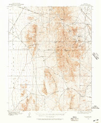
1916 · Highland
USGS Topo · 1:62,500
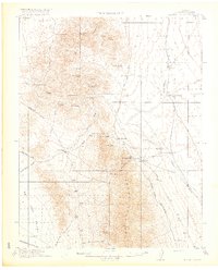
1917 · Bristol Range
USGS Topo · 1:62,500
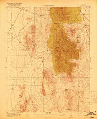
1918 · Highland
USGS Topo · 1:62,500
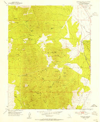
1953 · Highland Peak
USGS Topo · 1:24,000
1953 · Bristol Range SE
USGS Topo · 1:24,000

1954 · Caliente
USGS Topo · 1:250,000

1956 · Lund
USGS Topo · 1:250,000