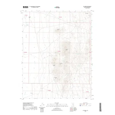
2018 Map of Ely Springs
USGS Topo · Published 2018About this map
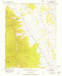
Ely Springs Range dominates the central landscape of this eastern Nevada terrain, creating a high divide between the open basin of Dry Lake Valley to the west and the higher elevations of Bristol Valley in the northeast. The distribution of water sources across this arid environment reveals the critical lifeblood of the high desert, with namesake Ely Springs and nearby Ely Springs Canyon serving as focal points for local geography. Scattered throughout the hills are smaller, named watering points such as Delmues Spring, Iron Tank Spring, and Tex Spring, which historically supported livestock and travelers. The presence of Bullfrog Reservoir and the drainage patterns of Coyote Wash emphasize the hydrological importance of this area within Lincoln County. Notable local landmarks like Black Rock Knoll and Swiss Bob Canyon provide specific orientation points for researchers tracing historical movement through the range.
Find a feature on this map
23 named features on this map. Tap any name to fly to it.
Don’t see what you’re looking for? This feature index may not catch every label — zoom into the map to look around manually.
Map Details
Editions of this 2018 Ely Springs Map
This is the sole edition of this map. No revisions or reprints were ever made.
Other maps of this area
1885 · Pioche
USGS Topo · 1:250,000
1886 · Pioche
USGS Topo · 1:250,000
1915 · Bristol Range
USGS Topo · 1:62,500
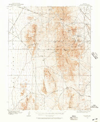
1916 · Highland
USGS Topo · 1:62,500
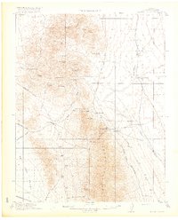
1917 · Bristol Range
USGS Topo · 1:62,500
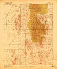
1918 · Highland
USGS Topo · 1:62,500
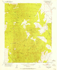
1953 · Highland Peak
USGS Topo · 1:24,000
1953 · Bristol Range SE
USGS Topo · 1:24,000

1954 · Caliente
USGS Topo · 1:250,000

1956 · Lund
USGS Topo · 1:250,000