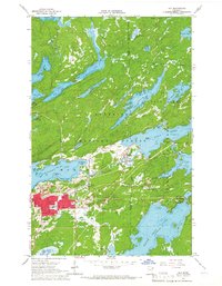
1965 Map of Ely
USGS Topo · Published 1967About this map
The iron mining town of Ely serves as the focal point of this mid-1960s survey, showing a landscape defined by the intersection of industrial extraction and the burgeoning gateway to the wilderness. The Pioneer Mine and various Gravel Pits mark the local economy, while the presence of the Duluth Missabe and Iron Range railroad illustrates the critical logistical link for ore transport. To the north, the town of Winton sits at the head of Fall Lake, positioned between the concentrated urban grid of Ely and the extensive waters of the Superior National Forest.
Find a feature on this map
51 named features on this map. Tap any name to fly to it.
Don’t see what you’re looking for? This feature index may not catch every label — zoom into the map to look around manually.
Map Details
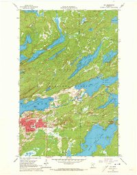
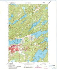
Editions of this 1965 Ely Map
3 editions found
Other maps of this area

1933 · Ely
USGS Topo · 1:62,500

1939 · Ely
USGS Topo · 1:62,500

1954 · Two Harbors
USGS Topo · 1:250,000

1957 · Two Harbors
USGS Topo · 1:250,000

1957 · Gabbro Lake
USGS Topo · 1:62,500

1957 · Basswood Lake
USGS Topo · 1:62,500

1957 · Quetico
USGS Topo · 1:250,000

1958 · Two Harbors
USGS Topo · 1:250,000

1963 · Fourtown Lake
USGS Topo · 1:24,000
1963 · Angleworm Lake
USGS Topo · 1:24,000