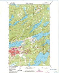
1965 Map of Ely
USGS Topo · Published 1986About this map
Ely serves as the gateway to the iron range and northern wilderness in the mid-1960s, a period when its industrial and educational infrastructure remained firmly intact. The town layout is densely packed with civic landmarks, including City Hall, the Post Office, and a complex of schools ranging from the Lincoln School to the Junior College. To the north, the Pioneer Mine and various Gravel Pits signify the region's extraction history, while the Duluth Missabe and Iron Range railroad connects these resources to the broader state economy.
Find a feature on this map
58 named features on this map. Tap any name to fly to it.
Don’t see what you’re looking for? This feature index may not catch every label — zoom into the map to look around manually.
Map Details
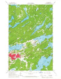
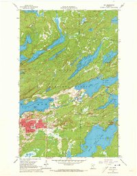
Editions of this 1965 Ely Map
3 editions found
Other maps of this area

1933 · Ely
USGS Topo · 1:62,500

1939 · Ely
USGS Topo · 1:62,500

1954 · Two Harbors
USGS Topo · 1:250,000

1957 · Two Harbors
USGS Topo · 1:250,000

1957 · Gabbro Lake
USGS Topo · 1:62,500

1957 · Basswood Lake
USGS Topo · 1:62,500

1957 · Quetico
USGS Topo · 1:250,000

1958 · Two Harbors
USGS Topo · 1:250,000

1963 · Fourtown Lake
USGS Topo · 1:24,000
1963 · Angleworm Lake
USGS Topo · 1:24,000