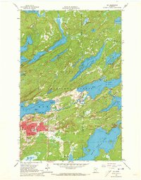
1965 Map of Ely
USGS Topo · Published 1973About this map
Ely serves as the industrial and residential hub of this northern frontier, characterized by its deep-rooted connection to the iron mining industry and the vast waters of the Superior National Forest. The presence of the Pioneer Mine and the Duluth Missabe and Iron Range railroad line underscores the area's economic reliance on ore extraction during the mid-1960s. To the north and east, the town of Winton sits at the edge of Fall Lake, marking the entry to a dense network of lakes including Shagawa Lake and White Iron Lake. The map reveals a transition from the urban grid of Ely, which includes institutions like the Junior College and Lincoln School, to the untamed waterways and islands such as Lovers Island and Lambs Point. Significant depth curves provided by the Minnesota Department of Conservation offer rare underwater topography for these glacial basins.
Find a feature on this map
50 named features on this map. Tap any name to fly to it.
Don’t see what you’re looking for? This feature index may not catch every label — zoom into the map to look around manually.
Map Details
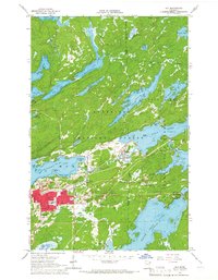
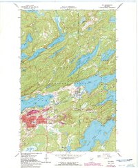
Editions of this 1965 Ely Map
3 editions found
Other maps of this area

1933 · Ely
USGS Topo · 1:62,500

1939 · Ely
USGS Topo · 1:62,500

1954 · Two Harbors
USGS Topo · 1:250,000

1957 · Two Harbors
USGS Topo · 1:250,000

1957 · Gabbro Lake
USGS Topo · 1:62,500

1957 · Basswood Lake
USGS Topo · 1:62,500

1957 · Quetico
USGS Topo · 1:250,000

1958 · Two Harbors
USGS Topo · 1:250,000

1963 · Fourtown Lake
USGS Topo · 1:24,000
1963 · Angleworm Lake
USGS Topo · 1:24,000