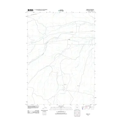
2012 Map of Embar
USGS Topo · Published 2012About this map
Embar and the surrounding ranchlands of Hot Springs County are defined by the winding drainages of the Owl Creek system in this 2012 survey. The settlement of Embar serves as a focal point in a landscape where water determines the layout of roads and homesteads, with N Fork Owl Cr and S Fork Owl Cr carving paths through the terrain. The presence of Brooks Ranch further south illustrates the enduring agricultural character of the region, situated near the broad expanse of Riley Flat.
Find a feature on this map
13 named features on this map. Tap any name to fly to it.
Don’t see what you’re looking for? This feature index may not catch every label — zoom into the map to look around manually.
Map Details
Editions of this 2012 Embar Map
This is the sole edition of this map. No revisions or reprints were ever made.
Other maps of this area

1913 · Grass Creek Basin
USGS Topo · 1:62,500

1915 · Grass Creek Basin
USGS Topo · 1:62,500

1952 · Kates Basin
USGS Topo · 1:24,000

1952 · Sheep Ridge
USGS Topo · 1:24,000

1952 · Bargee
USGS Topo · 1:24,000

1955 · Thermopolis
USGS Topo · 1:250,000

1956 · Twentyone Creek
USGS Topo · 1:24,000

1958 · Thermopolis
USGS Topo · 1:250,000

1962 · Thermopolis
USGS Topo · 1:250,000

1965 · Arapahoe Ranch
USGS Topo · 1:24,000