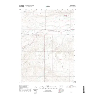
2017 Map of Embar
USGS Topo · Published 2017About this map
Embar sits as the central point of reference in this Wyoming landscape, where the drainage systems of the Owl Creek range converge. The topography is defined by the carved paths of the N Fork Owl Cr and S Fork Owl Cr, which create a complex network of seasonal and perennial waterways. To the southeast, the terrain levels out at Riley Flat, while the eastern edge is marked by the distinct depression of Duncan Draw. The transportation network is closely tied to these natural corridors, with Owl Creek Rd and Cottonwood Creek Rd following the lower elevations between the ridges. This 2017 survey illustrates a sparsely populated region where land use is dictated by the rugged hydrology of Dry Cottonwood Cr and Red Cr.
Find a feature on this map
21 named features on this map. Tap any name to fly to it.
Don’t see what you’re looking for? This feature index may not catch every label — zoom into the map to look around manually.
Map Details
Editions of this 2017 Embar Map
This is the sole edition of this map. No revisions or reprints were ever made.
Other maps of this area
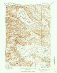
1913 · Grass Creek Basin
USGS Topo · 1:62,500
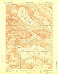
1915 · Grass Creek Basin
USGS Topo · 1:62,500
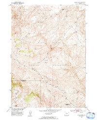
1952 · Kates Basin
USGS Topo · 1:24,000
1952 · Sheep Ridge
USGS Topo · 1:24,000
1952 · Bargee
USGS Topo · 1:24,000
1955 · Thermopolis
USGS Topo · 1:250,000
1956 · Twentyone Creek
USGS Topo · 1:24,000
1958 · Thermopolis
USGS Topo · 1:250,000
1962 · Thermopolis
USGS Topo · 1:250,000
1965 · Arapahoe Ranch
USGS Topo · 1:24,000