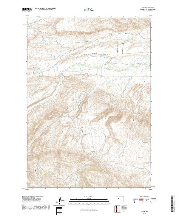
2021 Map of Embar
USGS Topo · Published 2021About this map
Owl Creek Rd and Cottonwood Creek Rd wind through this high-desert drainage system in Hot Springs County, Wyoming. The terrain is defined by an intricate network of seasonal and perennial waterways that have carved deep channels into the landscape, notably Duncan Draw and the broad, open expanse of Riley Flat. The hydrography of the region is centered on the confluence and divergence of the N Fork Owl Cr and S Fork Owl Cr, alongside smaller tributaries like Red Cr and Dry Cottonwood Cr. This survey illustrates a traditional Western ranching and rangeland geography where roads strictly follow the contours of the valley floors, providing access to remote springs such as Rock Spring Cr. The map preserves the exact township and range boundaries that have governed land use in this part of the Owl Creek Mountains for over a century.
Find a feature on this map
18 named features on this map. Tap any name to fly to it.
Don’t see what you’re looking for? This feature index may not catch every label — zoom into the map to look around manually.
Map Details
Editions of this 2021 Embar Map
This is the sole edition of this map. No revisions or reprints were ever made.
Other maps of this area

1913 · Grass Creek Basin
USGS Topo · 1:62,500

1915 · Grass Creek Basin
USGS Topo · 1:62,500

1952 · Kates Basin
USGS Topo · 1:24,000

1952 · Sheep Ridge
USGS Topo · 1:24,000

1952 · Bargee
USGS Topo · 1:24,000

1955 · Thermopolis
USGS Topo · 1:250,000

1956 · Twentyone Creek
USGS Topo · 1:24,000

1958 · Thermopolis
USGS Topo · 1:250,000

1962 · Thermopolis
USGS Topo · 1:250,000

1965 · Arapahoe Ranch
USGS Topo · 1:24,000