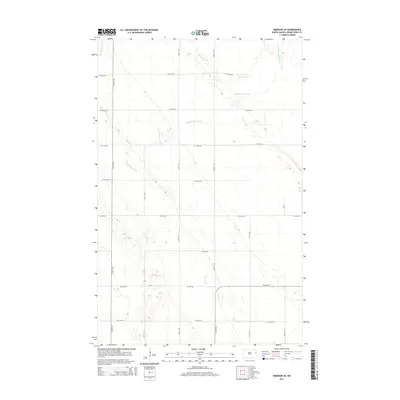
2014 Map of Emerado SE
USGS Topo · Published 2014About this map
Salt Water Coulee and Salt Coulee trace the subtle, low-lying drainage patterns of the Red River Valley in this eastern North Dakota survey. The landscape is defined by its extreme flatness, a characteristic of the prehistoric Glacial Lake Agassiz bed, where water movement is channeled through slow-moving coulees like Fresh Water Coulee and Elm Coulee. The human imprint on this terrain is strictly geometric, following the Public Land Survey System with a rigid grid of section-line roads. This network includes local thoroughfares such as 13th Ave NE and 25th St NE, which serve the expansive agricultural tracts of Grand Forks County. This map documents a period of modern rural infrastructure, showing the intersection of natural drainage ways with a highly organized system of transportation and land management.
Find a feature on this map
19 named features on this map. Tap any name to fly to it.
Don’t see what you’re looking for? This feature index may not catch every label — zoom into the map to look around manually.
Map Details
Editions of this 2014 Emerado SE Map
This is the sole edition of this map. No revisions or reprints were ever made.
Other maps of this area
1934 · Emerado
USGS Topo · 1:48,000
1934 · Grand Forks
USGS Topo · 1:62,500
1936 · Emerado
USGS Topo · 1:62,500
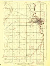
1938 · Grand Forks
USGS Topo · 1:62,500
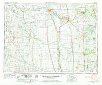
1952 · Grand Forks
USGS Topo · 1:250,000
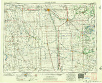
1956 · Grand Forks
USGS Topo · 1:250,000
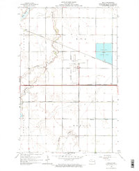
1963 · Kelly
USGS Topo · 1:24,000
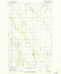
1963 · Emerado SE
USGS Topo · 1:24,000
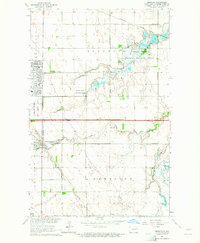
1963 · Emerado
USGS Topo · 1:24,000
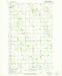
1963 · Emerado SW
USGS Topo · 1:24,000