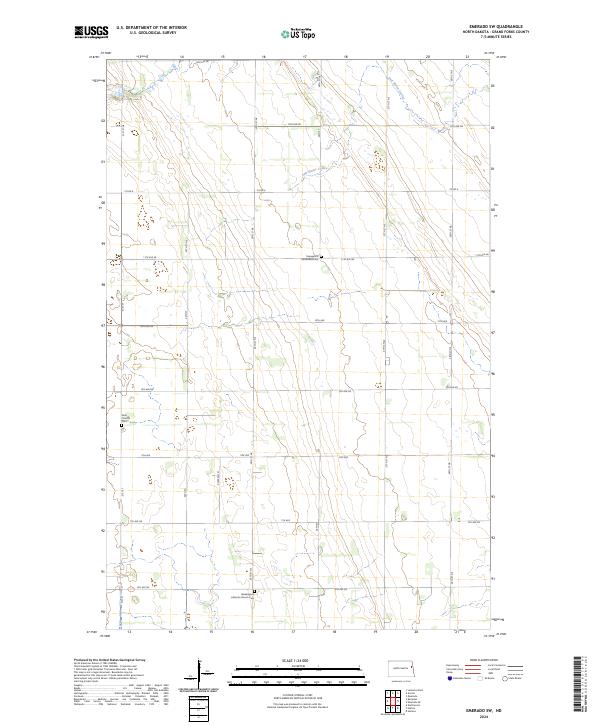
2024 Map of Emerado SW
USGS Topo · Published 2024About this map
Salt Water Coulee meanders through this portion of Grand Forks County, defining the drainage patterns of an agricultural landscape structured by the Public Land Survey System. The area is characterized by its rural religious heritage, anchored by the Washington Lutheran Church and its associated Washington Lutheran Church Cem in the southern sections. Further north, the Gran Church and Gran Cem serve as focal points for local history and genealogy, representing the early 20th-century community centers that supported local farmsteads. A third place of worship, the Evangelical United Brethren, stands central to the grid of section roads like Co Rd 6 and 11th Ave NE. This 2024 survey documents the enduring spatial arrangement of North Dakota's Red River Valley township system, where historic church sites remain the primary landmarks amidst a network of precise gravel and paved corridors.
Find a feature on this map
33 named features on this map. Tap any name to fly to it.
Don’t see what you’re looking for? This feature index may not catch every label — zoom into the map to look around manually.
Map Details
Editions of this 2024 Emerado SW Map
This is the sole edition of this map. No revisions or reprints were ever made.
Other maps of this area

1934 · Emerado
USGS Topo · 1:48,000

1936 · Emerado
USGS Topo · 1:62,500

1936 · Larimore
USGS Topo · 1:62,500

1952 · Grand Forks
USGS Topo · 1:250,000

1956 · Grand Forks
USGS Topo · 1:250,000

1963 · Larimore East
USGS Topo · 1:24,000

1963 · Kempton
USGS Topo · 1:24,000

1963 · Emerado SE
USGS Topo · 1:24,000
1963 · Emerado
USGS Topo · 1:24,000

1963 · Emerado SW
USGS Topo · 1:24,000