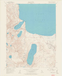
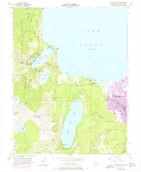
1955 Map of Emerald Bay
USGS Topo · Published 1960About this map
The turquoise waters of Lake Tahoe dominate the northern extent of this mid-century survey, revealing a landscape defined by seasonal recreation and conservation. Along the shore of Emerald Bay, the notable Vikingsholm estate stands near Fannette Island, while the surrounding terrain is protected within D L Bliss State Park and Emerald Bay State Park. To the south, the deep basin of Fallen Leaf Lake is framed by the steep ascent of Mt Tallac and Cathedral Peak, illustrating the dramatic glaciated topography of the Sierra Nevada.
Find a feature on this map
53 named features on this map. Tap any name to fly to it.
Don’t see what you’re looking for? This feature index may not catch every label — zoom into the map to look around manually.
Map Details
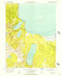
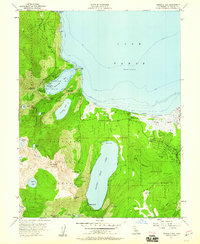
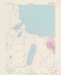
Editions of this 1955 Emerald Bay Map
5 editions found
Other maps of this area

1889 · Pyramid Peak
USGS Topo · 1:125,000

1889 · Markleeville
USGS Topo · 1:125,000

1891 · Carson
USGS Topo · 1:125,000

1891 · Markleeville
USGS Topo · 1:125,000

1891 · Truckee
USGS Topo · 1:125,000

1891 · Pyramid Peak
USGS Topo · 1:125,000

1893 · Carson
USGS Topo · 1:125,000

1893 · Markleeville
USGS Topo · 1:125,000

1893 · Truckee
USGS Topo · 1:125,000

1895 · Pyramid Peak
USGS Topo · 1:125,000
Featured Places
- South Lake Tahoe, CA
- Tahoe Valley, South Lake Tahoe
- Camp Richardson, CA
- Kiva Beach, CA
- Tahoe Keys, South Lake Tahoe