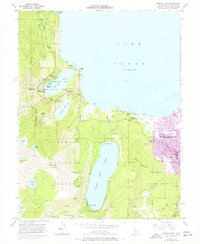
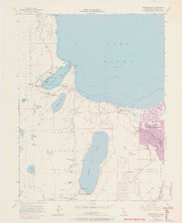
1955 Map of Emerald Bay
USGS Topo · Published 1971About this map
Emerald Bay State Park and the surrounding Sierra Nevada landscape are captured in this mid-century topographic study, which highlights the transition from protected wilderness to growing alpine communities. The iconic Vikingsholm estate sits at the head of Emerald Bay, facing Fannette Island, while the southern shore shows the burgeoning development of South Lake Tahoe and Tahoe Valley. To the west, the high-altitude terrain of the Desolation Wilderness is marked by a network of glacial lakes, including Azure Lake, Snow Lake, and Gilmore Lake, all shadowed by the massive Mt Tallac. The map documents early recreation and management infrastructure, from the Bay View Guard Station to the Angora Lookout. Along the lakefront, the established grounds of Camp Richardson and Baldwin Beach provide a contrast to the dense timber of the Eldorado National Forest.
Find a feature on this map
66 named features on this map. Tap any name to fly to it.
Don’t see what you’re looking for? This feature index may not catch every label — zoom into the map to look around manually.
Map Details
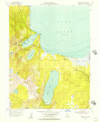
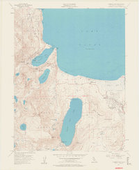
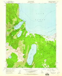
Editions of this 1955 Emerald Bay Map
5 editions found
Other maps of this area

1889 · Pyramid Peak
USGS Topo · 1:125,000

1889 · Markleeville
USGS Topo · 1:125,000

1891 · Carson
USGS Topo · 1:125,000

1891 · Markleeville
USGS Topo · 1:125,000

1891 · Truckee
USGS Topo · 1:125,000

1891 · Pyramid Peak
USGS Topo · 1:125,000

1893 · Carson
USGS Topo · 1:125,000

1893 · Markleeville
USGS Topo · 1:125,000

1893 · Truckee
USGS Topo · 1:125,000

1895 · Pyramid Peak
USGS Topo · 1:125,000
Featured Places
- South Lake Tahoe, CA
- Tahoe Valley, South Lake Tahoe
- Camp Richardson, CA
- Kiva Beach, CA
- Tahoe Keys, South Lake Tahoe