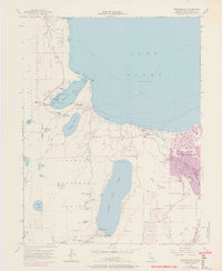
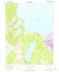
1955 Map of Emerald Bay
USGS Topo · Published 1971About this map
South Lake Tahoe and the southwestern shores of Lake Tahoe undergo significant expansion in this mid-century record, as indicated by purple revisions showing urban growth. The map illustrates the transition from seasonal lakeside retreats like Camp Richardson and Tallac Village to more permanent residential footprints near Tahoe Valley. The landscape is dominated by glacial features, from the iconic Fannette Island in Emerald Bay to the high-elevation cirques of the Desolation Wilderness.
Find a feature on this map
61 named features on this map. Tap any name to fly to it.
Don’t see what you’re looking for? This feature index may not catch every label — zoom into the map to look around manually.
Map Details
Editions of this 1955 Emerald Bay Map
5 editions found
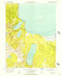
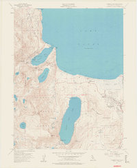
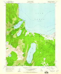
Other maps of this area

1889 · Pyramid Peak
USGS Topo · 1:125,000

1889 · Markleeville
USGS Topo · 1:125,000

1891 · Carson
USGS Topo · 1:125,000

1891 · Markleeville
USGS Topo · 1:125,000

1891 · Truckee
USGS Topo · 1:125,000

1891 · Pyramid Peak
USGS Topo · 1:125,000

1893 · Carson
USGS Topo · 1:125,000

1893 · Markleeville
USGS Topo · 1:125,000

1893 · Truckee
USGS Topo · 1:125,000

1895 · Pyramid Peak
USGS Topo · 1:125,000
Featured Places
- South Lake Tahoe, CA
- Tahoe Valley, South Lake Tahoe
- Camp Richardson, CA
- Kiva Beach, CA
- Tahoe Keys, South Lake Tahoe