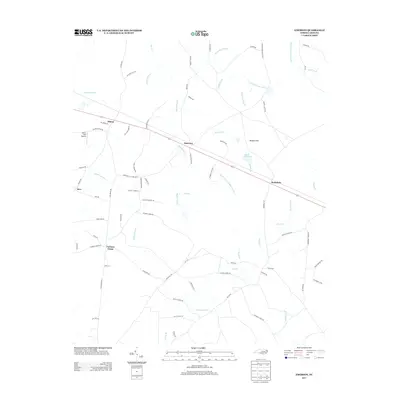
2013 Map of Emerson
USGS Topo · Published 2013About this map
Emerson and the surrounding Bladen County lowlands are defined by an intricate network of wetlands and small agricultural settlements. The landscape is characterized by its numerous water bodies, ranging from the expansive Elkton Swamp and Bogue Swamp to smaller drainages like Mill Br and Shipman Br. Human activity is clustered around crossroads and family-named routes, with local aviation represented by the Elkins Field Airport near the town of Elkton.
Find a feature on this map
81 named features on this map. Tap any name to fly to it.
Don’t see what you’re looking for? This feature index may not catch every label — zoom into the map to look around manually.
Map Details
Editions of this 2013 Emerson Map
This is the sole edition of this map. No revisions or reprints were ever made.
Other maps of this area

1953 · Florence
USGS Topo · 1:250,000

1954 · Florence
USGS Topo · 1:250,000

1954 · White Lake
USGS Topo · 1:62,500

1954 · Bolton
USGS Topo · 1:62,500

1955 · Whiteville
USGS Topo · 1:62,500

1955 · Elizabethtown
USGS Topo · 1:62,500

1982 · Elizabethtown
USGS Topo · 1:100,000
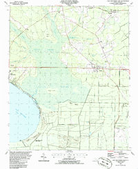
1986 · Lake Waccamaw East
USGS Topo · 1:24,000
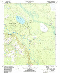
1986 · Singletary Lake
USGS Topo · 1:24,000
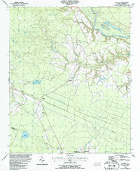
1986 · Council
USGS Topo · 1:24,000