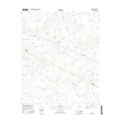
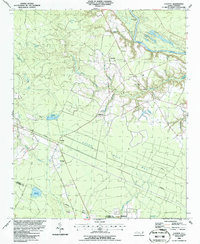
2016 Map of Emerson
USGS Topo · Published 2016About this map
Elkton and Emerson anchor this corner of the Coastal Plain, where the complex wetlands of the Carolina bays dictate the patterns of human settlement. The landscape is defined by its numerous swamp systems, including the Brown Marsh Swamp, Elkton Swamp, and the expansive Little Pine Log Swamp. These natural features, along with several named bays like Wildcat Bay and Little Horseshoe Bay, create a mosaic of land and water that has historically constrained development to the higher ground between the bogs.
Find a feature on this map
95 named features on this map. Tap any name to fly to it.
Don’t see what you’re looking for? This feature index may not catch every label — zoom into the map to look around manually.
Map Details
Editions of this 2016 Emerson Map
This is the sole edition of this map. No revisions or reprints were ever made.
Other maps of this area

1953 · Florence
USGS Topo · 1:250,000

1954 · Florence
USGS Topo · 1:250,000
1954 · White Lake
USGS Topo · 1:62,500
1954 · Bolton
USGS Topo · 1:62,500
1955 · Whiteville
USGS Topo · 1:62,500
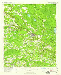
1955 · Elizabethtown
USGS Topo · 1:62,500
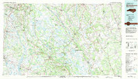
1982 · Elizabethtown
USGS Topo · 1:100,000
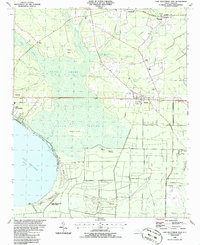
1986 · Lake Waccamaw East
USGS Topo · 1:24,000
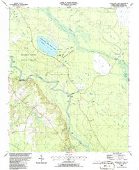
1986 · Singletary Lake
USGS Topo · 1:24,000
1986 · Council
USGS Topo · 1:24,000