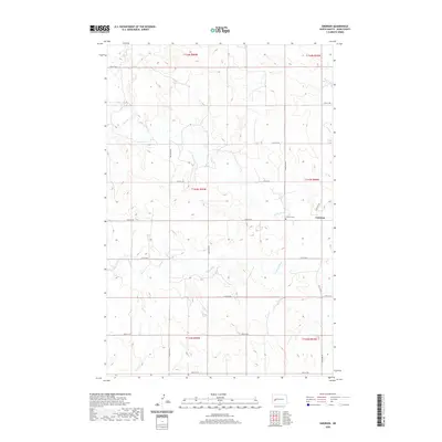
2020 Map of Emerson
USGS Topo · Published 2020About this map
Emerson serves as the focal point for this rural landscape in Dunn County, where the sprawling grasslands of western North Dakota are etched by seasonal waterways and a rigid grid of section lines. The settlement is situated near the northern banks of the Knife River, which meanders across the central plains alongside its tributaries, Crooked Cr and Stray Cr. Local history is anchored at the Emerson Cem, a quiet landmark reflecting the area's agricultural roots. The map reveals the systematic development of the region, defined by long north-south corridors like 102nd Ave SW and 104th Ave SW, which facilitate movement between the vast grazing lands and homesteads that define this portion of the northern Great Plains.
Find a feature on this map
24 named features on this map. Tap any name to fly to it.
Don’t see what you’re looking for? This feature index may not catch every label — zoom into the map to look around manually.
Map Details
Editions of this 2020 Emerson Map
This is the sole edition of this map. No revisions or reprints were ever made.
Other maps of this area

1953 · Watford City
USGS Topo · 1:250,000

1957 · Watford City
USGS Topo · 1:250,000

1967 · Watford City
USGS Topo · 1:250,000

1973 · Manning SE
USGS Topo · 1:24,000

1973 · Ziner Butte
USGS Topo · 1:24,000
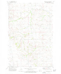
1973 · Hirschville SW
USGS Topo · 1:24,000
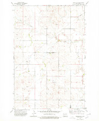
1973 · Hirschville
USGS Topo · 1:24,000

1973 · Manning
USGS Topo · 1:24,000

1973 · Dunn Center
USGS Topo · 1:24,000

1973 · Emerson
USGS Topo · 1:24,000