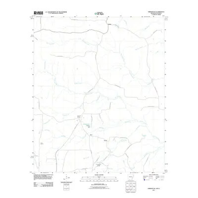
2011 Map of Emerson SE
USGS Topo · Published 2011About this map
Atlanta and the surrounding rural landscape of Columbia County are defined by a complex network of waterways and a legacy of natural resource extraction. The northern portion of the map is dominated by Pigeon Roost Creek and the meandering path of Little Cornie Bayou, while the southern reaches reveal the industrial footprint of the East Haynesville Oil and Gas Field. Settlement patterns are concentrated around small communities such as Ware and Owens, with local history preserved at sites like Chalybeate Springs Cemetery and Traylor Cemetery. The terrain is marked by family-named roads and localized water management features, including Rasberry Lake and the Rasberry Lake Dam. This 2011 survey captures the area as a mature agricultural and energy-producing region, where smaller tributaries like Sassafras Creek and Beene Creek drain into the larger bayou system.
Find a feature on this map
43 named features on this map. Tap any name to fly to it.
Don’t see what you’re looking for? This feature index may not catch every label — zoom into the map to look around manually.
Map Details
Editions of this 2011 Emerson SE Map
This is the sole edition of this map. No revisions or reprints were ever made.
Other maps of this area

1951 · Summerfield
USGS Topo · 1:62,500

1952 · Homer
USGS Topo · 1:62,500

1953 · El Dorado
USGS Topo · 1:250,000

1955 · Shreveport
USGS Topo · 1:250,000

1956 · Shreveport
USGS Topo · 1:250,000

1957 · El Dorado
USGS Topo · 1:250,000

1958 · El Dorado
USGS Topo · 1:250,000

1960 · El Dorado
USGS Topo · 1:250,000

1966 · Calhoun
USGS Topo · 1:24,000

1966 · Spotville
USGS Topo · 1:24,000