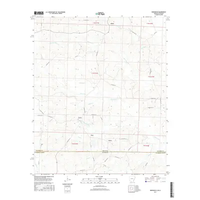
2017 Map of Emerson SE
USGS Topo · Published 2017About this map
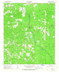
The borderlands of southern Columbia County are defined by a complex network of creeks and drainage basins as they flow toward the Louisiana state line. Atlanta sits in the north, while the smaller settlements of Ware and Owens are located further south, linked by a series of rural roads such as Columbia Road 16. The terrain is characterized by the branching paths of Pigeon-Roost Cr and Little Corney Cr, which shape the local topography and historical travel routes.
Find a feature on this map
54 named features on this map. Tap any name to fly to it.
Don’t see what you’re looking for? This feature index may not catch every label — zoom into the map to look around manually.
Map Details
Editions of this 2017 Emerson SE Map
This is the sole edition of this map. No revisions or reprints were ever made.
Other maps of this area
1951 · Summerfield
USGS Topo · 1:62,500
1952 · Homer
USGS Topo · 1:62,500

1953 · El Dorado
USGS Topo · 1:250,000

1955 · Shreveport
USGS Topo · 1:250,000

1956 · Shreveport
USGS Topo · 1:250,000

1957 · El Dorado
USGS Topo · 1:250,000

1958 · El Dorado
USGS Topo · 1:250,000

1960 · El Dorado
USGS Topo · 1:250,000
1966 · Calhoun
USGS Topo · 1:24,000
1966 · Spotville
USGS Topo · 1:24,000