
1922 Map of Emery No.3
USGS Topo · Published 1922About this map
Johns Peak and Deer Peak dominate this 1922 advance sheet of central Utah, which captures the high-elevation drainage systems before modern development altered the mountain passes. Surveyed by W.B. Upton, Jr., the map focuses on the complex topography where Red Creek and Clear Creek carve through the Sevier County landscape. A single primitive Road is traced through the canyon following the course of Clear Creek, indicating the primary travel route through these mountains in the early twentieth century. The map also identifies the headwaters of the East Fork, providing a precise record of the natural hydrology and land divisions within Township 24 and 25 South. This document serves as a foundational topographic study of the region's vertical relief, as it was published as an advance sheet subject to later correction.
Find a feature on this map
10 named features on this map. Tap any name to fly to it.
Don’t see what you’re looking for? This feature index may not catch every label — zoom into the map to look around manually.
Map Details
Editions of this 1922 Emery No.3 Map
This is the sole edition of this map. No revisions or reprints were ever made.
Other maps of this area

1885 · Fish Lake
USGS Topo · 1:250,000

1896 · Fish Lake
USGS Topo · 1:250,000

1925 · Acord Lakes
USGS Topo · 1:62,500

1956 · Salina
USGS Topo · 1:250,000

1960 · Salina
USGS Topo · 1:250,000

1962 · Salina
USGS Topo · 1:250,000

1966 · Yogo Creek
USGS Topo · 1:24,000

1968 · Johns Peak
USGS Topo · 1:24,000
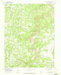
1968 · Old Woman Plateau
USGS Topo · 1:24,000
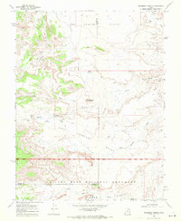
1968 · Solomons Temple
USGS Topo · 1:24,000