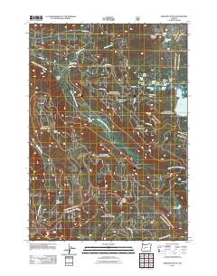
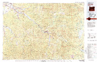
2011 Map of Emigrant Butte
USGS Topo · Published 2011About this map
The Middle Fork Willamette River defines the drainage patterns of this high-elevation landscape in the Cascades, where glacial and volcanic history are evident in the dense clusters of alpine waters. A network of small lakes including Ruth Lake, Sunset Lake, and Reflection Lake dot the area around Emigrant Pass, while the expansive Summit Lake dominates the eastern edge.
Find a feature on this map
31 named features on this map. Tap any name to fly to it.
Don’t see what you’re looking for? This feature index may not catch every label — zoom into the map to look around manually.
Map Details
Editions of this 2011 Emigrant Butte Map
This is the sole edition of this map. No revisions or reprints were ever made.
Other maps of this area
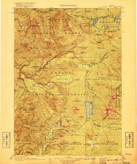
1917 · Diamond Lake
USGS Topo · 1:125,000
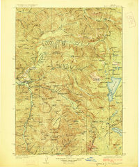
1925 · Waldo Lake
USGS Topo · 1:125,000
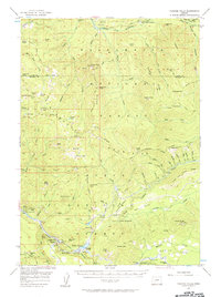
1956 · Toketee Falls
USGS Topo · 1:62,500
1956 · Waldo Lake
USGS Topo · 1:62,500
1956 · Summit Lake
USGS Topo · 1:62,500
1956 · Oakridge
USGS Topo · 1:62,500

1958 · Roseburg
USGS Topo · 1:250,000

1959 · Roseburg
USGS Topo · 1:250,000
1978 · Diamond Lake
USGS Topo · 1:100,000
1983 · Oakridge
USGS Topo · 1:100,000