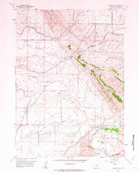
1960 Map of Emigrant Gap
USGS Topo · Published 1963About this map
Emigrant Trail and Oregon Trail corridors dominate this 1960 landscape, tracing the historic overland routes through the high country of Natrona County. The map details a rugged transition from the high point of Emigrant Gap Ridge down to the fertile curves of the North Platte River. Along the river, Bessemer Bend serves as a focal point for settlement and early agriculture, evidenced by the presence of Bessemer Sch and a local Fish Hatchery. Of particular interest to local historians are the Old Goose Egg Ranchhouse (Ruins) and a nearby Historical Marker, which anchor the map's eastern edge. Further inland, the importance of water management in this arid environment is highlighted by the Casper Canal and the Poison Spider School, which served the scattered ranching community along Poison Spider Creek.
Find a feature on this map
31 named features on this map. Tap any name to fly to it.
Don’t see what you’re looking for? This feature index may not catch every label — zoom into the map to look around manually.
Map Details
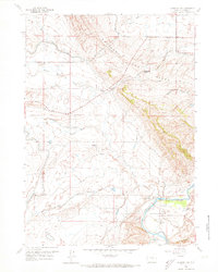
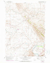
Editions of this 1960 Emigrant Gap Map
3 editions found
Other maps of this area

1950 · Emigrant Gap
USGS Topo · 1:24,000

1950 · Goose Egg
USGS Topo · 1:24,000

1950 · Emigrant Gap NE
USGS Topo · 1:24,000

1951 · Oil Mountain
USGS Topo · 1:24,000

1951 · Clarkson Hill
USGS Topo · 1:24,000

1951 · Emigrant Gap NW
USGS Topo · 1:24,000

1951 · Bessemer Mountain
USGS Topo · 1:24,000

1952 · Bishop
USGS Topo · 1:24,000

1955 · Casper
USGS Topo · 1:250,000

1958 · Casper
USGS Topo · 1:250,000