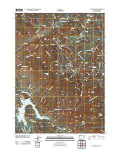
2011 Map of Emigrant Lake
USGS Topo · Published 2011About this map
Emigrant Lake and its surrounding waterworks dominate the southwestern portion of this Jackson County landscape, reflecting the essential role of irrigation in the local economy. The network of the Ashland Lateral and East Lateral canals snake through the valley floor, connecting the large lake with Bounds Reservoir and providing critical water to the agricultural reaches of the Rogue Valley. Evidence of early land use and local genealogy is visible in the scattered ranching outposts and family-named landmarks that dot the highlands, including Walker Sheep Camp, Cove Ranch, and Henry Ranch.
Find a feature on this map
77 named features on this map. Tap any name to fly to it.
Don’t see what you’re looking for? This feature index may not catch every label — zoom into the map to look around manually.
Map Details
Editions of this 2011 Emigrant Lake Map
This is the sole edition of this map. No revisions or reprints were ever made.
Other maps of this area
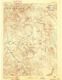
1891 · Ashland
USGS Topo · 1:250,000
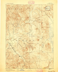
1893 · Ashland
USGS Topo · 1:250,000
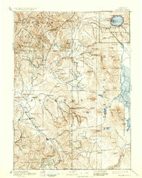
1897 · Ashland
USGS Topo · 1:250,000
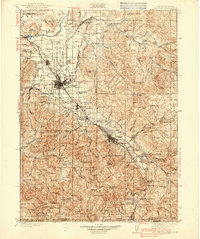
1938 · Medford
USGS Topo · 1:125,000
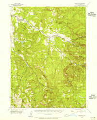
1954 · Lakecreek
USGS Topo · 1:62,500
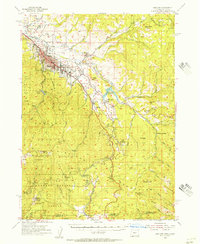
1954 · Ashland
USGS Topo · 1:62,500
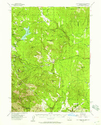
1955 · Hyatt Reservoir
USGS Topo · 1:62,500
1955 · Mt. Mc Loughlin
USGS Topo · 1:62,500

1955 · Medford
USGS Topo · 1:250,000
1957 · Medford
USGS Topo · 1:250,000