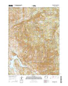
2014 Map of Emigrant Lake
USGS Topo · Published 2014About this map
Emigrant Lake serves as a central feature in this Jackson County landscape, its western shores marked by the Hill Cem and the rise of Songer Butte. The terrain is defined by a series of steep drainages, including Sweathouse Canyon and Edwards Canyon, which carve through the high ridges. In the south, the Pacific Crest National Scenic Trail winds along the slopes of Green Springs Mtn, offering a glimpse into the modern recreational use of these mountains. The presence of School House Meadow and several small reservoirs like Gibson Reservoir and Bounds Reservoir suggests a long history of water management and rural homesteading. Moving north, the landscape reaches toward Sugarloaf and Ice House Lake, highlighting a network of forest roads and BLM access routes that crisscross the timbered slopes and high meadows.
Find a feature on this map
91 named features on this map. Tap any name to fly to it.
Don’t see what you’re looking for? This feature index may not catch every label — zoom into the map to look around manually.
Map Details
Editions of this 2014 Emigrant Lake Map
This is the sole edition of this map. No revisions or reprints were ever made.
Other maps of this area
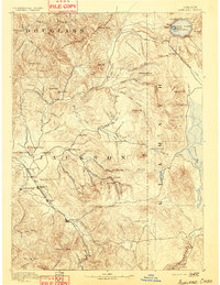
1891 · Ashland
USGS Topo · 1:250,000
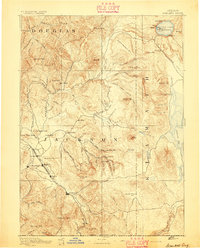
1893 · Ashland
USGS Topo · 1:250,000
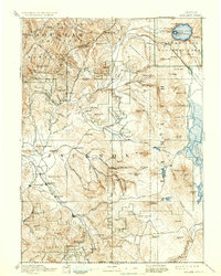
1897 · Ashland
USGS Topo · 1:250,000
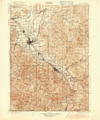
1938 · Medford
USGS Topo · 1:125,000
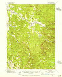
1954 · Lakecreek
USGS Topo · 1:62,500
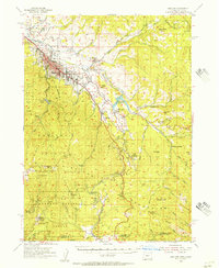
1954 · Ashland
USGS Topo · 1:62,500
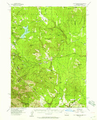
1955 · Hyatt Reservoir
USGS Topo · 1:62,500
1955 · Mt. Mc Loughlin
USGS Topo · 1:62,500

1955 · Medford
USGS Topo · 1:250,000
1957 · Medford
USGS Topo · 1:250,000