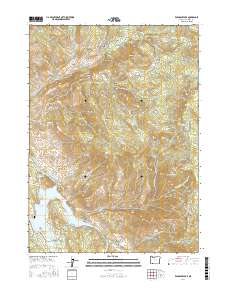
2017 Map of Emigrant Lake
USGS Topo · Published 2017About this map
Emigrant Lake and its surrounding waterworks anchor this 2017 survey of the Jackson County highlands. The landscape is defined by its complex drainage network, where Emigrant Creek and Cattle Creek feed the main reservoir, supported by upstream impoundments like Bounds Reservoir and Gibson Reservoir. This era of Jackson County history shows a distinct balance between modern infrastructure and preserved wilderness trails. The Pacific Crest National Scenic Trail winds along the eastern ridgelines near Green Springs Mountain, while localized landmarks like Hill Cemetery and School House Meadow offer glimpses into the area's rural heritage. Significant elevation changes are marked by prominent summits such as Songer Butte, Major Butte, and Tom Spring Mountain, illustrating the varied terrain of the southern Oregon Cascades.
Find a feature on this map
81 named features on this map. Tap any name to fly to it.
Don’t see what you’re looking for? This feature index may not catch every label — zoom into the map to look around manually.
Map Details
Editions of this 2017 Emigrant Lake Map
This is the sole edition of this map. No revisions or reprints were ever made.
Other maps of this area
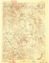
1891 · Ashland
USGS Topo · 1:250,000
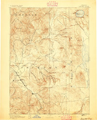
1893 · Ashland
USGS Topo · 1:250,000
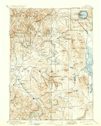
1897 · Ashland
USGS Topo · 1:250,000
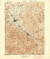
1938 · Medford
USGS Topo · 1:125,000
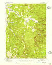
1954 · Lakecreek
USGS Topo · 1:62,500
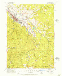
1954 · Ashland
USGS Topo · 1:62,500
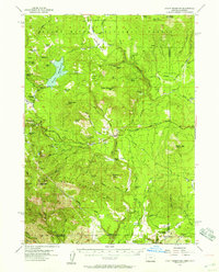
1955 · Hyatt Reservoir
USGS Topo · 1:62,500
1955 · Mt. Mc Loughlin
USGS Topo · 1:62,500

1955 · Medford
USGS Topo · 1:250,000
1957 · Medford
USGS Topo · 1:250,000