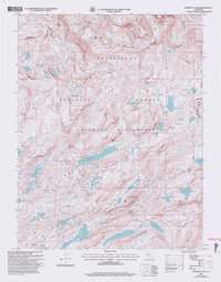
2001 Map of Emigrant Lake
USGS Topo · Published 2004About this map
The high Sierra Nevada backcountry is captured in this survey, where the borders of the Stanislaus National Forest, Yosemite National Park, and Toiyabe National Forest converge. This alpine landscape is defined by its glacial hydrology, centered on the expansive Emigrant Lake and the smaller, high-elevation High Emigrant Lake, Middle Emigrant Lake, and Emigrant Meadow Lake. The terrain is characterized by massive granite formations such as Granite Dome and Black Hawk Mountain, while historical routes like the Corral Spring Trail cross the Emigrant Wilderness. These trails and passes, including Emigrant Pass and Brown Bear Pass, represent the traditional transit corridors through the High Sierra. The map also identifies surveying landmarks and named points of interest such as the Sachse Monument near Maxwell Lake, providing a detailed look at the geography before modern digital updates shifted the mapping of these remote peaks like Relief Peak and Kennedy Peak.
Find a feature on this map
58 named features on this map. Tap any name to fly to it.
Don’t see what you’re looking for? This feature index may not catch every label — zoom into the map to look around manually.
Map Details
Editions of this 2001 Emigrant Lake Map
2 editions found
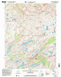
Other maps of this area

1896 · Dardanelles
USGS Topo · 1:125,000

1898 · Dardanelles
USGS Topo · 1:125,000

1948 · Walker Lake
USGS Topo · 1:250,000

1954 · Pickel Meadow
USGS Topo · 1:24,000

1956 · Dardanelles Cone
USGS Topo · 1:62,500

1956 · Pinecrest
USGS Topo · 1:62,500

1956 · Sonora Pass
USGS Topo · 1:62,500
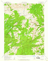
1956 · Tower Peak
USGS Topo · 1:62,500

1957 · Walker Lake
USGS Topo · 1:250,000

1962 · Walker Lake
USGS Topo · 1:250,000