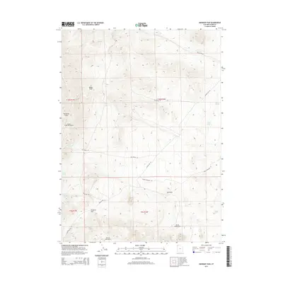
2014 Map of Emigrant Pass
USGS Topo · Published 2014About this map
Emigrant Pass serves as a central topographic feature in this arid landscape of Box Elder County, where a network of primitive roads follows the natural corridors between mountain ranges. The map reveals a land defined by its scarce water sources, as seen in the distribution of Bovine Spring, Sheep Trail Spring, and Chokecherry Spring. These vital points, along with Rosebud Cr and Willow Spring, illustrate the essential hydrology that supported ranching and transit through this high-desert environment.
Find a feature on this map
22 named features on this map. Tap any name to fly to it.
Don’t see what you’re looking for? This feature index may not catch every label — zoom into the map to look around manually.
Map Details
Editions of this 2014 Emigrant Pass Map
This is the sole edition of this map. No revisions or reprints were ever made.
Other maps of this area

1954 · Brigham City
USGS Topo · 1:250,000

1958 · Brigham City
USGS Topo · 1:250,000

1962 · Brigham City
USGS Topo · 1:250,000
1967 · Lucin NE
USGS Topo · 1:24,000
1971 · Prohibition Spring
USGS Topo · 1:24,000
1971 · Emigrant Pass
USGS Topo · 1:24,000
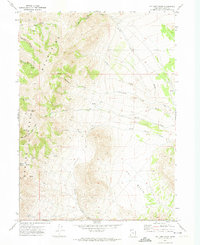
1971 · Potters Creek
USGS Topo · 1:24,000
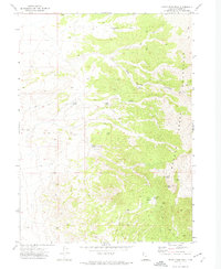
1971 · Rocky Pass Peak
USGS Topo · 1:24,000
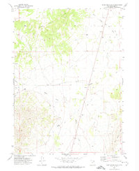
1971 · Warm Spring Hills
USGS Topo · 1:24,000
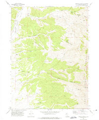
1971 · Ingham Canyon
USGS Topo · 1:24,000