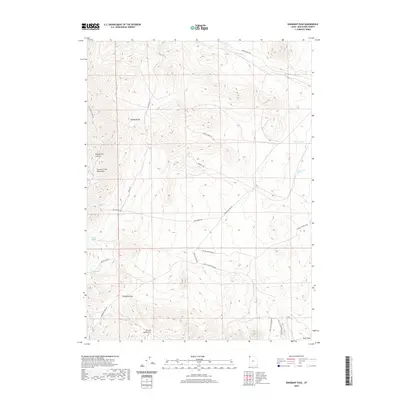
2020 Map of Emigrant Pass
USGS Topo · Published 2020About this map
Emigrant Pass serves as a critical high-point corridor between the Bovine Mountains and the Grouse Creek Mountains in this modern survey of western Box Elder County. The landscape is defined by a network of historical routes and natural water sources, including the Emigrant Trail Rd and Keg Springs Rd, which follow established paths through the high desert terrain. The distribution of named springs such as Bovine Spring, Chokecherry Spring, and Puckett Spring indicates the vital role of hydrology in this arid environment, while topographical features like the Muddy Range and Keg Spring Canyon illustrate the complex relief of the Great Basin. Modern access is documented through contemporary designations like Devil's Playground Rd, highlighting the region's transition from a historic westward passage to a managed recreational and wilderness area.
Find a feature on this map
23 named features on this map. Tap any name to fly to it.
Don’t see what you’re looking for? This feature index may not catch every label — zoom into the map to look around manually.
Map Details
Editions of this 2020 Emigrant Pass Map
This is the sole edition of this map. No revisions or reprints were ever made.
Other maps of this area

1954 · Brigham City
USGS Topo · 1:250,000

1958 · Brigham City
USGS Topo · 1:250,000

1962 · Brigham City
USGS Topo · 1:250,000
1967 · Lucin NE
USGS Topo · 1:24,000
1971 · Prohibition Spring
USGS Topo · 1:24,000
1971 · Emigrant Pass
USGS Topo · 1:24,000
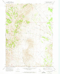
1971 · Potters Creek
USGS Topo · 1:24,000
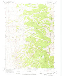
1971 · Rocky Pass Peak
USGS Topo · 1:24,000
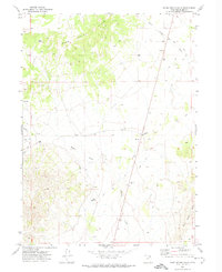
1971 · Warm Spring Hills
USGS Topo · 1:24,000
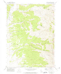
1971 · Ingham Canyon
USGS Topo · 1:24,000