
1971 Map of Emigrant Pass
USGS Topo · Published 1974About this map
Emigrant Pass serves as a critical geographic pivot point between the Grouse Creek Mountains and the Bovine Mountains in this 1971 field-checked survey. The landscape is defined by its strategic water sources, essential for both migratory travel and local ranching, including Bovine Spring, Sheep Trail Spring, and Chokecherry Spring.
Find a feature on this map
20 named features on this map. Tap any name to fly to it.
Don’t see what you’re looking for? This feature index may not catch every label — zoom into the map to look around manually.
Map Details
Editions of this 1971 Emigrant Pass Map
This is the sole edition of this map. No revisions or reprints were ever made.
Other maps of this area

1954 · Brigham City
USGS Topo · 1:250,000

1958 · Brigham City
USGS Topo · 1:250,000

1962 · Brigham City
USGS Topo · 1:250,000

1967 · Lucin NE
USGS Topo · 1:24,000

1971 · Prohibition Spring
USGS Topo · 1:24,000

1971 · Potters Creek
USGS Topo · 1:24,000
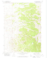
1971 · Rocky Pass Peak
USGS Topo · 1:24,000

1971 · Warm Spring Hills
USGS Topo · 1:24,000
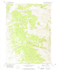
1971 · Ingham Canyon
USGS Topo · 1:24,000

1983 · Terrace Mountain West
USGS Topo · 1:24,000