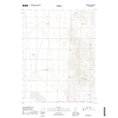
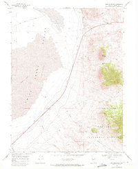
2018 Map of Emigrant Peak
USGS Topo · Published 2018About this map
Emigrant Peak rises above the transition between the high basin of Smith Creek Valley and the steep eastern drainages of the Desatoya Mountains. This 2018 survey documents a remote landscape where water is the primary sculptor of the terrain, visible in the network of dry washes and canyons that cut through the topography. Notable among these are Gandolfo Canyon, Acree Canyon, and Gilbert Canyon, which feed into the broader valley floor. While the western portion of the sheet is dominated by the relatively level expanse of the valley, the eastern half is a complex of ridges and ravines. Water sources like Ryan Canyon Spring and the drainage of Porter Cr provide essential points of interest in an otherwise arid environment, illustrating the sparse but critical hydrology of Lander County.
Find a feature on this map
16 named features on this map. Tap any name to fly to it.
Don’t see what you’re looking for? This feature index may not catch every label — zoom into the map to look around manually.
Map Details
Editions of this 2018 Emigrant Peak Map
This is the sole edition of this map. No revisions or reprints were ever made.
Other maps of this area

1955 · Millett
USGS Topo · 1:250,000

1959 · Millett
USGS Topo · 1:250,000
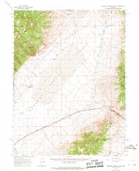
1966 · Edwards Creek Valley
USGS Topo · 1:62,500
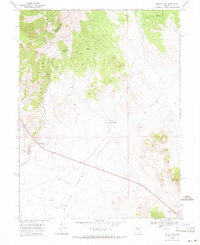
1969 · Mount Airy
USGS Topo · 1:24,000
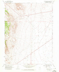
1969 · Gandolfo Canyon
USGS Topo · 1:24,000
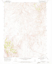
1969 · Mount Airy Mesa
USGS Topo · 1:24,000
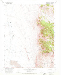
1969 · Emigrant Peak
USGS Topo · 1:24,000
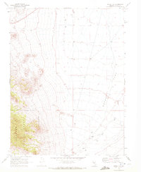
1969 · Dutch Flat
USGS Topo · 1:24,000
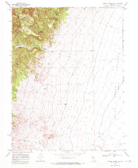
1969 · Carroll Summit NE
USGS Topo · 1:24,000
1969 · Iron Mountain
USGS Topo · 1:24,000