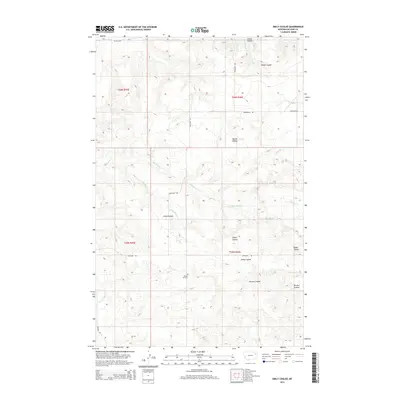
2014 Map of Emily Coulee
USGS Topo · Published 2014About this map
Prairie Elk Cem serves as a lone local landmark in this sparsely populated stretch of McCone County, where the high plains are carved by an intricate network of drainage channels. The landscape is defined by the namesake Emily Coulee and larger arteries like Big Mud Cr and Prairie Elk Cr. These seasonal watercourses dictate the layout of the few improved roads, including Highway 528 and Weldon Rd, which generally follow the higher ridges or navigate the breaks between coulees.
Find a feature on this map
20 named features on this map. Tap any name to fly to it.
Don’t see what you’re looking for? This feature index may not catch every label — zoom into the map to look around manually.
Map Details
Editions of this 2014 Emily Coulee Map
This is the sole edition of this map. No revisions or reprints were ever made.
Other maps of this area
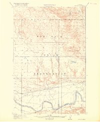
1915 · Oswego
USGS Topo · 1:62,500
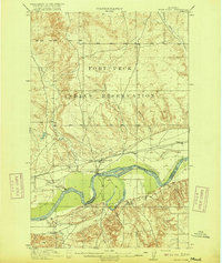
1916 · Wolf Point
USGS Topo · 1:62,500

1954 · Glendive
USGS Topo · 1:250,000

1954 · Wolf Point
USGS Topo · 1:250,000

1957 · Glendive
USGS Topo · 1:250,000

1958 · Wolf Point
USGS Topo · 1:250,000

1958 · Glendive
USGS Topo · 1:250,000
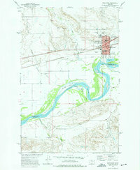
1972 · Wolf Point
USGS Topo · 1:24,000
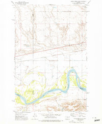
1972 · Flynn Creek South
USGS Topo · 1:24,000
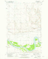
1972 · Oswego
USGS Topo · 1:24,000