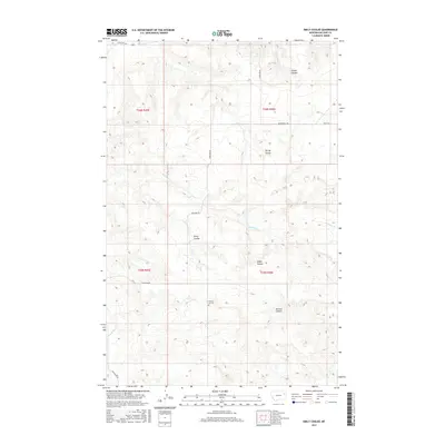
2017 Map of Emily Coulee
USGS Topo · Published 2017About this map
Prairie Elk Cem serves as a primary historical waypoint in this drainage-carved landscape of eastern Montana. The terrain is defined by an intricate network of coulees and seasonal creeks that feed into the larger prairie system, including Big Mud Cr and Prairie Elk Cr. The nomenclature of the land reflects a legacy of local ranching and settlement, with features like Emily Coulee, Steele Coulee, and Browns Coulee partitioning the high plains. Movement through this portion of McCone County is dictated by the section-line grid and a handful of rural routes such as Highland Rd and Mendenhall Rd, which connect isolated homesteads to the wider region. The map captures a classic Big Sky landscape where the physical environment—marked by O'Dell Coulee and Spring Coulee—remains the dominant feature of the local geography.
Find a feature on this map
19 named features on this map. Tap any name to fly to it.
Don’t see what you’re looking for? This feature index may not catch every label — zoom into the map to look around manually.
Map Details
Editions of this 2017 Emily Coulee Map
This is the sole edition of this map. No revisions or reprints were ever made.
Other maps of this area
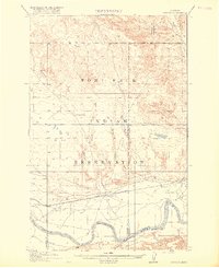
1915 · Oswego
USGS Topo · 1:62,500
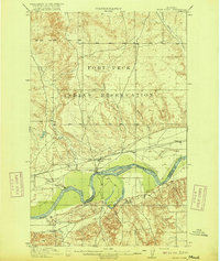
1916 · Wolf Point
USGS Topo · 1:62,500

1954 · Glendive
USGS Topo · 1:250,000

1954 · Wolf Point
USGS Topo · 1:250,000

1957 · Glendive
USGS Topo · 1:250,000

1958 · Wolf Point
USGS Topo · 1:250,000

1958 · Glendive
USGS Topo · 1:250,000
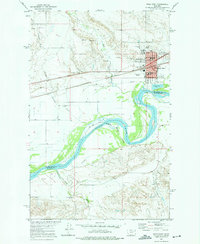
1972 · Wolf Point
USGS Topo · 1:24,000
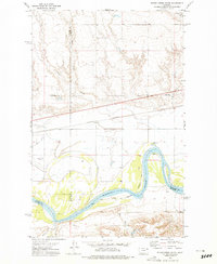
1972 · Flynn Creek South
USGS Topo · 1:24,000
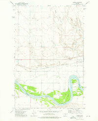
1972 · Oswego
USGS Topo · 1:24,000