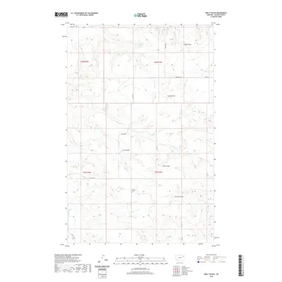
2020 Map of Emily Coulee
USGS Topo · Published 2020About this map
Emily Coulee and its surrounding drainage systems define this section of McCone County, where the landscape is marked by a network of seasonal watercourses and deeply etched coulees. The map reveals a land organized by the Public Land Survey System, with the boundaries of t25n r45e and t26n r46e meeting in an area shaped by livestock and agricultural transit. The lonely Prairie Elk Cem stands as a significant point of local history near the banks of Prairie Elk Cr, indicating the deep-seated roots of early settlers in this high plains environment.
Find a feature on this map
21 named features on this map. Tap any name to fly to it.
Don’t see what you’re looking for? This feature index may not catch every label — zoom into the map to look around manually.
Map Details
Editions of this 2020 Emily Coulee Map
This is the sole edition of this map. No revisions or reprints were ever made.
Other maps of this area

1915 · Oswego
USGS Topo · 1:62,500

1916 · Wolf Point
USGS Topo · 1:62,500

1954 · Glendive
USGS Topo · 1:250,000

1954 · Wolf Point
USGS Topo · 1:250,000

1957 · Glendive
USGS Topo · 1:250,000

1958 · Wolf Point
USGS Topo · 1:250,000

1958 · Glendive
USGS Topo · 1:250,000

1972 · Wolf Point
USGS Topo · 1:24,000
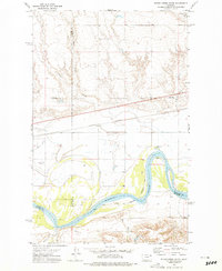
1972 · Flynn Creek South
USGS Topo · 1:24,000
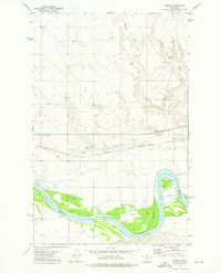
1972 · Oswego
USGS Topo · 1:24,000