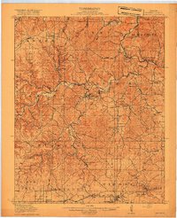
1917 Map of Eminence
USGS Topo · Published 1917About this map
Eminence and West Eminence serve as the central hubs of this Shannon County landscape during the mid-1910s, situated at the confluence where Jacks Fork meets smaller tributaries like Mahans Creek. The map reveals a deeply etched Ozark topography, where the Current River winds through the northern sections past Bee Bluff and Ebb and Flow Springs. Settlement patterns follow the hollows and creek beds, with isolated post offices and community centers such as Horse Hollow Angeline PO and Delaware providing vital connections for rural residents.
Find a feature on this map
85 named features on this map. Tap any name to fly to it.
Don’t see what you’re looking for? This feature index may not catch every label — zoom into the map to look around manually.
Map Details
Editions of this 1917 Eminence Map
4 editions found
Other maps of this area

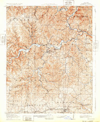
1915 · Eminence
USGS Topo · 1:62,500

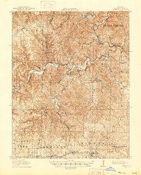
1917 · Eminence
USGS Topo · 1:62,500

1928 · Cardareva
USGS Topo · 1:62,500

1931 · Bandyville
USGS Topo · 1:48,000

1932 · Cedar Grove
USGS Topo · 1:48,000

1944 · Van Buren
USGS Topo · 1:62,500

1944 · Birch Tree
USGS Topo · 1:62,500

1944 · Corridon
USGS Topo · 1:62,500

1945 · Montier
USGS Topo · 1:62,500

1945 · Round Spring
USGS Topo · 1:62,500