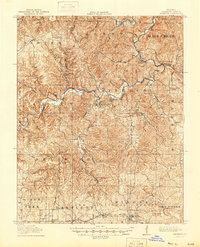
1917 Map of Eminence
USGS Topo · Published 1944About this map
Eminence and West Eminence serve as the central hubs of this Shannon County landscape during the early twentieth century. The Current River and its major tributary, the Jacks Fork Current River, dominate the topography, cutting through deep valleys that define the local townships. To the south, the timber and transport economy is anchored by the St Louis and San Francisco railroad, which connects the settlements of Winona and Bartlett.
Find a feature on this map
50 named features on this map. Tap any name to fly to it.
Don’t see what you’re looking for? This feature index may not catch every label — zoom into the map to look around manually.
Map Details
Editions of this 1917 Eminence Map
4 editions found
Other maps of this area

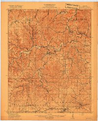
1915 · Eminence
USGS Topo · 1:62,500

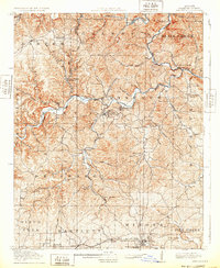
1917 · Eminence
USGS Topo · 1:62,500

1928 · Cardareva
USGS Topo · 1:62,500

1931 · Bandyville
USGS Topo · 1:48,000

1932 · Cedar Grove
USGS Topo · 1:48,000

1944 · Van Buren
USGS Topo · 1:62,500

1944 · Birch Tree
USGS Topo · 1:62,500

1944 · Corridon
USGS Topo · 1:62,500

1945 · Montier
USGS Topo · 1:62,500

1945 · Round Spring
USGS Topo · 1:62,500