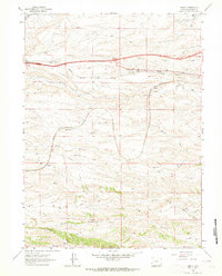
1962 Map of Emkay
USGS Topo · Published 1964About this map
The Union Pacific railroad line defines the central corridor of this Laramie County landscape, carving through a series of west-to-east drainage systems just south of the Cheyenne-Laramie stretch. Small railway-adjacent stations like Otto, Corlett, and the quadrangle's namesake Emkay mark the transit-oriented settlement pattern of the early 1960s. These locations represent the vital logistical infrastructure that supported both the railroad and the surrounding ranchlands before the massive expansion of the modern highway system.
Find a feature on this map
23 named features on this map. Tap any name to fly to it.
Don’t see what you’re looking for? This feature index may not catch every label — zoom into the map to look around manually.
Map Details
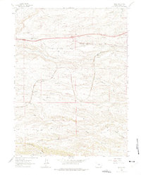
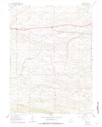
Editions of this 1962 Emkay Map
3 editions found
Other maps of this area

1905 · Sherman
USGS Topo · 1:125,000

1907 · Livermore
USGS Topo · 1:125,000

1908 · Eaton
USGS Topo · 1:125,000

1909 · Livermore
USGS Topo · 1:125,000

1910 · Eaton
USGS Topo · 1:125,000

1911 · Cheyenne
USGS Topo · 1:125,000

1914 · Cheyenne
USGS Topo · 1:125,000

1950 · Cheyenne
USGS Topo · 1:62,500

1954 · Cheyenne
USGS Topo · 1:250,000

1954 · Greeley
USGS Topo · 1:250,000