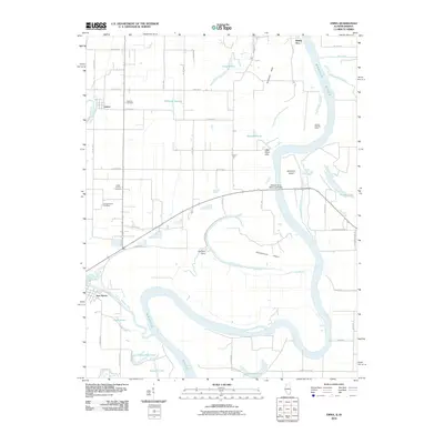
2010 Map of Emma
USGS Topo · Published 2010About this map
The Wabash River snakes through the bottomlands of southeastern Illinois and southwestern Indiana, defining a landscape of seasonal wetlands and river islands. This 2010 survey highlights a terrain where water dictates the boundaries of human settlement, from the small communities of Emma and Rising Sun to the larger Greathouse Island and Hermann Island. The complex hydrology of the area is evident in the numerous oxbow lakes and backwaters such as Horseshoe Pond, Halfmoon Pond, and Fishpond Swamp, which remain even as the main channel shifts over time.
Find a feature on this map
58 named features on this map. Tap any name to fly to it.
Don’t see what you’re looking for? This feature index may not catch every label — zoom into the map to look around manually.
Map Details
Editions of this 2010 Emma Map
This is the sole edition of this map. No revisions or reprints were ever made.
Other maps of this area

1903 · New Harmony
USGS Topo · 1:62,500

1903 · Patoka
USGS Topo · 1:125,000

1905 · New Haven
USGS Topo · 1:62,500

1906 · New Haven
USGS Topo · 1:62,500

1917 · Uniontown
USGS Topo · 1:62,500

1938 · New Harmony
USGS Topo · 1:62,500

1940 · Carmi
USGS Topo · 1:62,500

1943 · Carmi
USGS Topo · 1:62,500

1949 · Paducah
USGS Topo · 1:250,000

1949 · New Haven
USGS Topo · 1:62,500