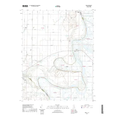
2018 Map of Emma
USGS Topo · Published 2018About this map
The Little Wabash River joins the Wabash River in this low-lying river bottom territory, defining a landscape of shifting channels, islands, and sloughs at the border of Illinois and Indiana. The confluence is marked by significant topographical features such as the Dogtown Hills and Little Chain Hills, which rise above the surrounding wetlands of Fishpond Swamp and Brushy Slough. Small settlements like Emma and Rising Sun anchor the rural road network, while several family and community burial sites, including the Abshire Cem, Epley Family Cem, and Orange Grove Cem, provide vital touchpoints for genealogical research. Large river features such as Hermann Island and Greathouse Island dominate the Wabash channel, illustrating the complex hydrology of this tri-county region involving White and Gallatin counties in Illinois and Posey County in Indiana.
Find a feature on this map
79 named features on this map. Tap any name to fly to it.
Don’t see what you’re looking for? This feature index may not catch every label — zoom into the map to look around manually.
Map Details
Editions of this 2018 Emma Map
This is the sole edition of this map. No revisions or reprints were ever made.
Other maps of this area
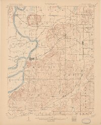
1903 · New Harmony
USGS Topo · 1:62,500
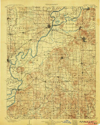
1903 · Patoka
USGS Topo · 1:125,000
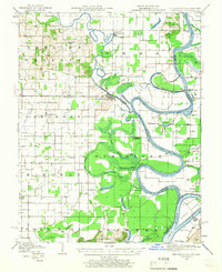
1905 · New Haven
USGS Topo · 1:62,500
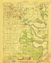
1906 · New Haven
USGS Topo · 1:62,500
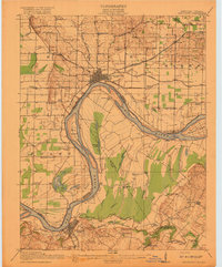
1917 · Uniontown
USGS Topo · 1:62,500
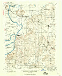
1938 · New Harmony
USGS Topo · 1:62,500
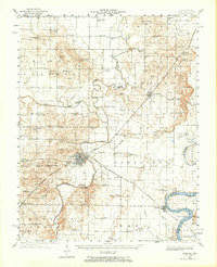
1940 · Carmi
USGS Topo · 1:62,500
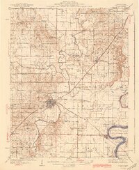
1943 · Carmi
USGS Topo · 1:62,500
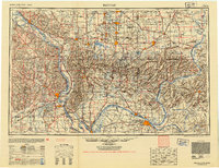
1949 · Paducah
USGS Topo · 1:250,000
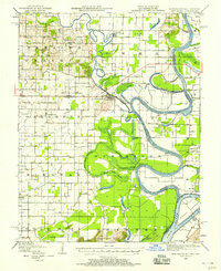
1949 · New Haven
USGS Topo · 1:62,500