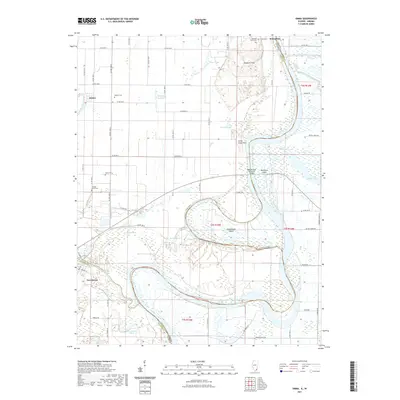
2021 Map of Emma
USGS Topo · Published 2021About this map
The Little Wabash River and the larger Wabash River define the intricate hydrology of this border region where Illinois and Indiana meet. The landscape is a complex network of backwaters and sloughs, including Brushy Slough, Sandy Slough, and the Little Chain Cutoff, which weave around prominent landforms like the Dogtown Hills and Little Chain Hills. This environment has historically shaped the placement of local settlements such as Emma, New Haven, and Rising Sun.
Find a feature on this map
72 named features on this map. Tap any name to fly to it.
Don’t see what you’re looking for? This feature index may not catch every label — zoom into the map to look around manually.
Map Details
Editions of this 2021 Emma Map
This is the sole edition of this map. No revisions or reprints were ever made.
Other maps of this area

1903 · New Harmony
USGS Topo · 1:62,500

1903 · Patoka
USGS Topo · 1:125,000

1905 · New Haven
USGS Topo · 1:62,500

1906 · New Haven
USGS Topo · 1:62,500

1917 · Uniontown
USGS Topo · 1:62,500

1938 · New Harmony
USGS Topo · 1:62,500

1940 · Carmi
USGS Topo · 1:62,500

1943 · Carmi
USGS Topo · 1:62,500

1949 · Paducah
USGS Topo · 1:250,000

1949 · New Haven
USGS Topo · 1:62,500