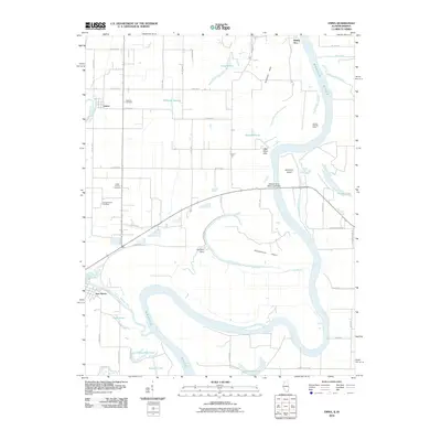
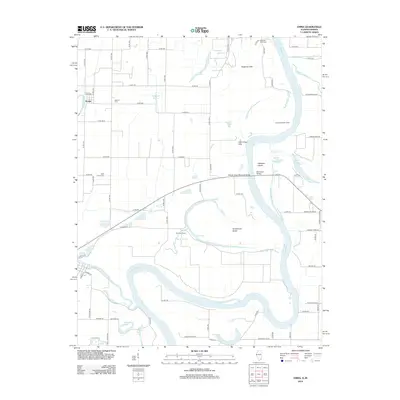
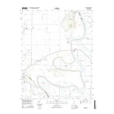
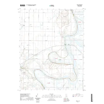
1978 Map of Emma
USGS Topo · Published 1979About this map
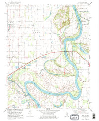
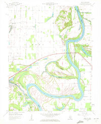
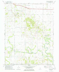
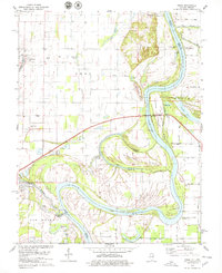
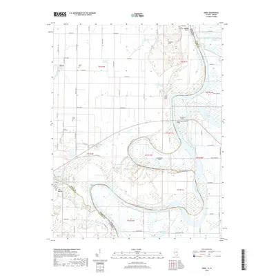
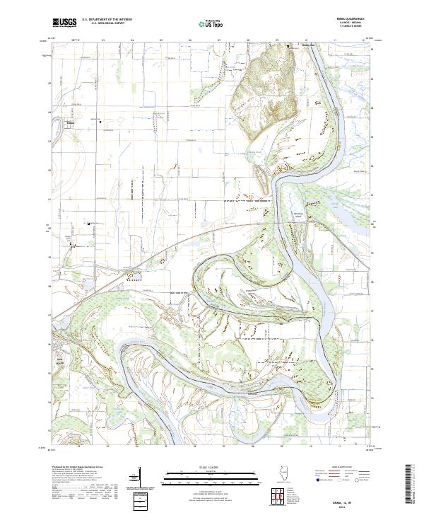
The Wabash River creates a complex, shifting boundary between Illinois and Indiana, defining the landscape through a series of dramatic meanders and oxbow lakes. In the late 1970s, this riverine environment supported a quiet agricultural and recreational economy, evidenced by the Dogtown Ferry Public Fishing Site and the presence of Old River Camp. The rugged elevations of the Dogtown Hills and Little Chain Hills rise above the alluvial plain, where numerous sloughs and ponds like Halfmoon Pond and Pitcher Lake mark former paths of the river.
Find a feature on this map
38 named features on this map. Tap any name to fly to it.
Don’t see what you’re looking for? This feature index may not catch every label — zoom into the map to look around manually.
Map Details
Editions of this 1978 Emma Map
2 editions found
Historical Maps of Emma Through Time
14 maps found
1958 Emma
White County, IL
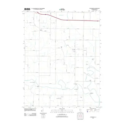
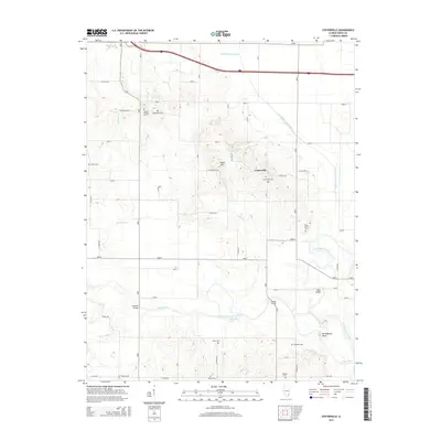
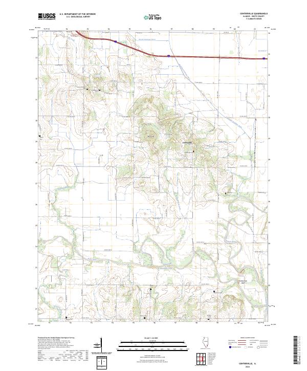
1974 Centerville
White County, IL
1978 Emma
White County, IL
2010 Emma
White County, IL
2012 Centerville
White County, IL
2012 Emma
White County, IL
2015 Centerville
White County, IL
2015 Emma
White County, IL
2018 Centerville
White County, IL
2018 Emma
White County, IL
2021 Centerville
White County, IL
2021 Emma
White County, IL
2024 Centerville
White County, IL
2024 Emma
White County, IL