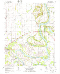
1978 Map of Emma
USGS Topo · Published 1979About this map
Wabash River meanders define this borderland landscape between Illinois and Indiana, where the river's shifting path has created complex landforms like Herman Island and Greathouse Island. The small settlement of Emma serves as a local hub, anchored by the Emma Concord Ch and several family burial grounds, including Abshire Cem. Near the confluence with the Little Wabash River, the town of New Haven sits among a network of flood-plain features like Horseshoe Pond and Beaver Pond.
Find a feature on this map
42 named features on this map. Tap any name to fly to it.
Don’t see what you’re looking for? This feature index may not catch every label — zoom into the map to look around manually.
Map Details
Editions of this 1978 Emma Map
2 editions found
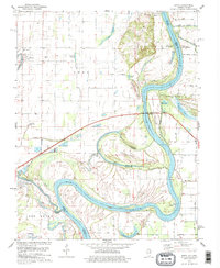
Other maps of this area

1903 · New Harmony
USGS Topo · 1:62,500

1903 · Patoka
USGS Topo · 1:125,000

1905 · New Haven
USGS Topo · 1:62,500

1906 · New Haven
USGS Topo · 1:62,500

1917 · Uniontown
USGS Topo · 1:62,500

1938 · New Harmony
USGS Topo · 1:62,500

1940 · Carmi
USGS Topo · 1:62,500

1943 · Carmi
USGS Topo · 1:62,500

1949 · Paducah
USGS Topo · 1:250,000

1949 · New Haven
USGS Topo · 1:62,500